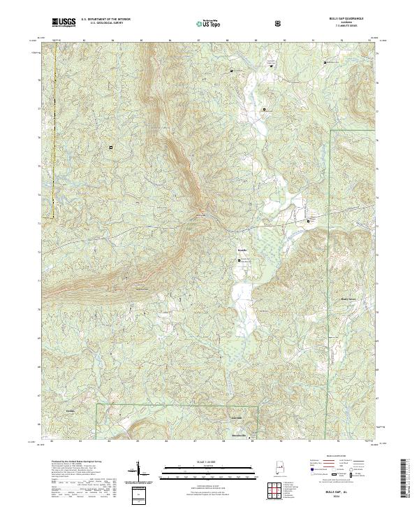
2024 Map of Bulls Gap
USGS Topo · Published 2024About this map
Horn Mtn and Rebecca Mtn dominate the central terrain of this section of the Talladega National Forest, where the ridgeline provides a pathway for the Pinhoti National Recreation Trail. This high ground separates the drainage basins of Hatchet Creek to the east and the Little Hatchet Creek to the west. Local history is centered around small rural settlements and family names, most notably at Roselle, where the Rozelle and Chandler Cem is located. The landscape is dotted with several other small burial grounds, including the Hatchett Creek Cem and Campbell Cem. Along the southern edge, the small communities of Brownsville and East Mill sit near the winding banks of Hatchet Creek, while Shady Grove occupies the eastern flats. The Hollins Tower stands as a prominent lookout point overlooking the settlement of Hollins in the southwestern corner.
Find a feature on this map
61 named features on this map. Tap any name to fly to it.
Don’t see what you’re looking for? This feature index may not catch every label — zoom into the map to look around manually.
Map Details
Editions of this 2024 Bulls Gap Map
This is the sole edition of this map. No revisions or reprints were ever made.
Other maps of this area

1890 · Talladega
USGS Topo · 1:125,000

1891 · Ashland
USGS Topo · 1:125,000

1892 · Talladega
USGS Topo · 1:125,000

1943 · Talladega
USGS Topo · 1:62,500

1944 · Goodwater
USGS Topo · 1:62,500

1946 · Talladega
USGS Topo · 1:62,500

1947 · Goodwater
USGS Topo · 1:62,500

1953 · Birmingham
USGS Topo · 1:250,000

1953 · Atlanta
USGS Topo · 1:250,000

1956 · Birmingham
USGS Topo · 1:250,000