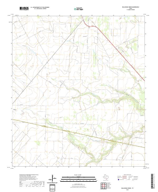
2022 Map of Bullshead Creek
USGS Topo · Published 2022About this map
The settlement of Tynan sits at the western edge of this South Texas landscape, where the coastal prairie is defined by a dense network of intermittent drainage ways and rural roads. Significant waterways including Bullshead Cr, Papalote Cr, and Ratta Cr carve subtle relief through the terrain, illustrating the hydrologic character of the region between the Nueces and Aransas basins. The southern portion of the sheet is bisected by the county boundary separating Bee and San Patricio counties.
Find a feature on this map
46 named features on this map. Tap any name to fly to it.
Don’t see what you’re looking for? This feature index may not catch every label — zoom into the map to look around manually.
Map Details
Editions of this 2022 Bullshead Creek Map
This is the sole edition of this map. No revisions or reprints were ever made.
Other maps of this area

1927 · Mathis
USGS Topo · 1:62,500

1953 · Beeville
USGS Topo · 1:250,000

1954 · Skidmore
USGS Topo · 1:62,500

1954 · Fleming
USGS Topo · 1:62,500

1954 · Mathis
USGS Topo · 1:62,500

1954 · Sinton
USGS Topo · 1:62,500

1956 · Beeville
USGS Topo · 1:250,000

1960 · Beeville
USGS Topo · 1:250,000

1979 · Burkes Ridge
USGS Topo · 1:24,000
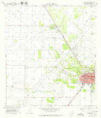
1979 · Sinton West
USGS Topo · 1:24,000