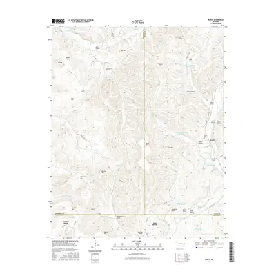
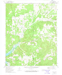
2016 Map of Bunch
USGS Topo · Published 2016About this map
Bunch serves as the central settlement in this portion of eastern Oklahoma, where the converging borders of Cherokee, Adair, and Sequoyah counties meet among the prominent ridges of the Ozark plateau. The landscape is defined by its numerous family-named peaks and hollows, such as Blaylock Mtn and Walkingstick Hollow, reflecting a long history of local land use and residency. Water management is a significant feature of the modern terrain, evidenced by several flood control reservoirs along Sallisaw Creek, including Sallisaw Creek Site 13 Reservoir and Sallisaw Creek Site 12 Reservoir. Traces of earlier industry and community life are preserved in labels like Lead Mine Hollow and the Flute Springs Cem, while the northwestern corner of the sheet captures the reaching waters of Tenkiller Ferry Lake where Dry Cr enters the reservoir system. This survey documents the persistent rural character of these upland communities, from Greasy to Evening Shade, as they appeared in the early 21st century.
Find a feature on this map
71 named features on this map. Tap any name to fly to it.
Don’t see what you’re looking for? This feature index may not catch every label — zoom into the map to look around manually.
Map Details
Editions of this 2016 Bunch Map
This is the sole edition of this map. No revisions or reprints were ever made.
Other maps of this area

1898 · Tahlequah
USGS Topo · 1:125,000

1901 · Tahlequah
USGS Topo · 1:125,000

1905 · Tahlequah
USGS Topo · 1:125,000

1946 · Fort Smith
USGS Topo · 1:250,000

1965 · Fort Smith
USGS Topo · 1:250,000

1967 · Fort Smith
USGS Topo · 1:250,000
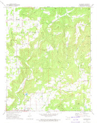
1972 · Blackgum
USGS Topo · 1:24,000
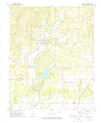
1972 · Marble City
USGS Topo · 1:24,000
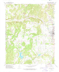
1972 · Stilwell West
USGS Topo · 1:24,000
1972 · Tailholt
USGS Topo · 1:24,000