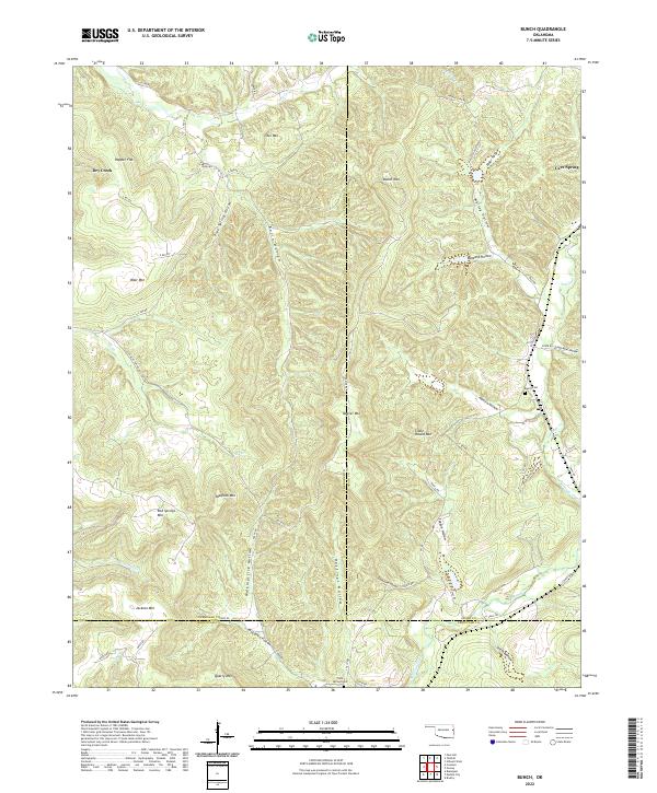
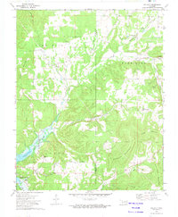
2022 Map of Bunch
USGS Topo · Published 2022About this map
Walkingstick Hollow and Hastings Hollow cut through the rugged southern Ozark landscape, illustrating a classic pattern of upland settlement in the Cookson Hills. This area, where the borders of Adair, Cherokee, and Sequoyah counties converge, is defined by high ridges like Quarry Mtn and Beaver Mtn that overlook deep drainages. The map documents the persistent rural character of Dry Creek and Cave Spring, communities that remain tied to the terrain by a network of local roads including Bunch Rd and Landers Flat Rd.
Find a feature on this map
73 named features on this map. Tap any name to fly to it.
Don’t see what you’re looking for? This feature index may not catch every label — zoom into the map to look around manually.
Map Details
Editions of this 2022 Bunch Map
This is the sole edition of this map. No revisions or reprints were ever made.
Other maps of this area

1898 · Tahlequah
USGS Topo · 1:125,000

1901 · Tahlequah
USGS Topo · 1:125,000

1905 · Tahlequah
USGS Topo · 1:125,000

1946 · Fort Smith
USGS Topo · 1:250,000

1965 · Fort Smith
USGS Topo · 1:250,000

1967 · Fort Smith
USGS Topo · 1:250,000
1972 · Blackgum
USGS Topo · 1:24,000
1972 · Marble City
USGS Topo · 1:24,000
1972 · Stilwell West
USGS Topo · 1:24,000
1972 · Tailholt
USGS Topo · 1:24,000