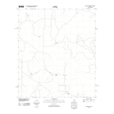
2010 Map of Bundy Ranch
USGS Topo · Published 2010About this map
The Dry Llano River and its seasonal drainage patterns define this portion of Edwards County, where the landscape is organized around wide-ranging ranching operations. The terrain is marked by topographic depressions such as Dragoo Hollow and its western counterpart, West Dragoo Hollow, which guide the local hydrology toward the South Llano River in the southeast. This map captures a network of established family-named properties including Sawyer Ranch, Bundy Ranch, and Cowsert Ranch, reflecting the enduring land-use traditions of the Texas Hill Country. Connectivity through this rural expanse is maintained by routes like the Whitworth Loop and Old Junction Rd, which link remote ranch houses like Mayfield Ranch and Phillips Ranch across the undulating drainages of Maynard Creek and its western fork.
Find a feature on this map
14 named features on this map. Tap any name to fly to it.
Don’t see what you’re looking for? This feature index may not catch every label — zoom into the map to look around manually.
Map Details
Editions of this 2010 Bundy Ranch Map
This is the sole edition of this map. No revisions or reprints were ever made.
Other maps of this area

1893 · Rock Springs
USGS Topo · 1:125,000

1954 · Sonora
USGS Topo · 1:250,000

1958 · Sonora
USGS Topo · 1:250,000

1962 · Hill Ranch
USGS Topo · 1:24,000

1962 · Roosevelt
USGS Topo · 1:24,000

1962 · Stewart Ranch
USGS Topo · 1:24,000
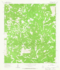
1962 · Bundy Ranch
USGS Topo · 1:24,000

1963 · Live Oak Draw
USGS Topo · 1:24,000
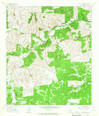
1963 · Fort Terrett Ranch
USGS Topo · 1:24,000
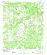
1971 · Paint Rock Spring
USGS Topo · 1:24,000