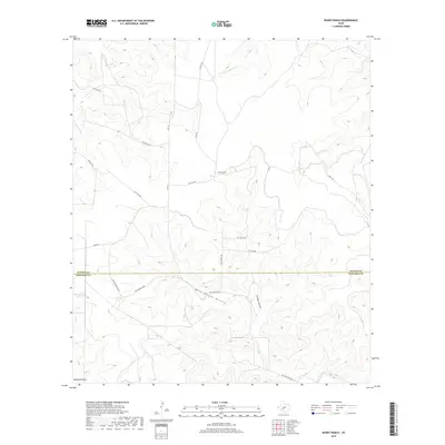
2019 Map of Bundy Ranch
USGS Topo · Published 2019About this map
The Bundy Ranch sits at the heart of this high-plateau landscape, where the boundary between Sutton and Edwards counties follows a straight east-west line across deep draws and riverbeds. Water-carved terrain defines the area, with the Dry Llano River cutting through the northwestern corner and the S Llano River appearing to the southeast. Extensive drainage networks like West Dragoo Hollow and McKenzie Draw illustrate the complex topography that ranching families have navigated for generations.
Find a feature on this map
23 named features on this map. Tap any name to fly to it.
Don’t see what you’re looking for? This feature index may not catch every label — zoom into the map to look around manually.
Map Details
Editions of this 2019 Bundy Ranch Map
This is the sole edition of this map. No revisions or reprints were ever made.
Other maps of this area

1893 · Rock Springs
USGS Topo · 1:125,000

1954 · Sonora
USGS Topo · 1:250,000

1958 · Sonora
USGS Topo · 1:250,000

1962 · Hill Ranch
USGS Topo · 1:24,000

1962 · Roosevelt
USGS Topo · 1:24,000

1962 · Stewart Ranch
USGS Topo · 1:24,000
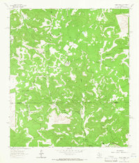
1962 · Bundy Ranch
USGS Topo · 1:24,000

1963 · Live Oak Draw
USGS Topo · 1:24,000
1963 · Fort Terrett Ranch
USGS Topo · 1:24,000
1971 · Paint Rock Spring
USGS Topo · 1:24,000