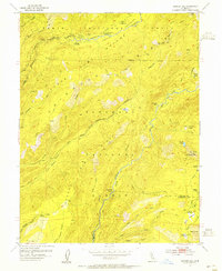
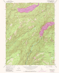
1953 Map of Bunker Hill
USGS Topo · Published 1955About this map
Tahoe National Forest dominates this mid-century survey of the high Sierras, revealing a landscape defined by seasonal camps and early resource management. The upper reaches of the Middle Fork American River flow through French Meadows, where the French Meadows Guard Station and several campgrounds like McGuire Campground served early forest visitors. This era predates the large-scale reservoir developments that would later transform the basin, showing the river in its natural course before the damming of the meadows.
Find a feature on this map
50 named features on this map. Tap any name to fly to it.
Don’t see what you’re looking for? This feature index may not catch every label — zoom into the map to look around manually.
Map Details
Editions of this 1953 Bunker Hill Map
5 editions found
Other maps of this area

1889 · Pyramid Peak
USGS Topo · 1:125,000

1891 · Colfax
USGS Topo · 1:125,000

1891 · Truckee
USGS Topo · 1:125,000

1891 · Placerville
USGS Topo · 1:125,000

1891 · Pyramid Peak
USGS Topo · 1:125,000

1892 · Placerville
USGS Topo · 1:125,000

1892 · Colfax
USGS Topo · 1:125,000

1893 · Placerville
USGS Topo · 1:125,000

1893 · Truckee
USGS Topo · 1:125,000

1894 · Colfax
USGS Topo · 1:125,000