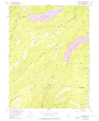
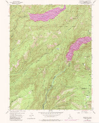
1953 Map of Bunker Hill
USGS Topo · Published 1975About this map
The Middle Fork American River and Rubicon River drainages define this high-altitude landscape in the Sierra Nevada. This 1973 photorevision documents a critical era of hydroelectric development, most notably the expansion of the French Meadows Reservoir and Hell Hole Reservoir. The inclusion of the L. Anderson Dam and specific spillway elevations reflects the mid-century engineering that transformed these river canyons.
Find a feature on this map
46 named features on this map. Tap any name to fly to it.
Don’t see what you’re looking for? This feature index may not catch every label — zoom into the map to look around manually.
Map Details
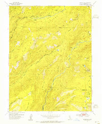
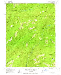
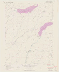
Editions of this 1953 Bunker Hill Map
5 editions found
Other maps of this area

1889 · Pyramid Peak
USGS Topo · 1:125,000

1891 · Colfax
USGS Topo · 1:125,000

1891 · Truckee
USGS Topo · 1:125,000

1891 · Placerville
USGS Topo · 1:125,000

1891 · Pyramid Peak
USGS Topo · 1:125,000

1892 · Placerville
USGS Topo · 1:125,000

1892 · Colfax
USGS Topo · 1:125,000

1893 · Placerville
USGS Topo · 1:125,000

1893 · Truckee
USGS Topo · 1:125,000

1894 · Colfax
USGS Topo · 1:125,000