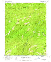
1953 Map of Bunker Hill
USGS Topo · Published 1962About this map
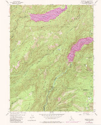
Tahoe National Forest and Eldorado National Forest meet at the Placer and El Dorado county line in this mid-century survey. The landscape is defined by the deep drainage of the Middle Fork American River and the Rubicon River, which converge in a network of steep canyons and high mountain meadows. Human presence is concentrated in seasonal camps and administrative outposts like the French Meadows Guard Station and McGuire Mine. The area's legacy of high-country ranching and timber management is visible in family-named landmarks such as Dobbas Cow Camp, Lawyer Cow Camp, and Jacobsen Meadow. Primitive transportation routes, including the Red Star Game Refuge Jeep Trail, provide access to remote points like Lower Hell Hole and Bunker Hill before the modern dam systems significantly altered these river valleys.
Find a feature on this map
49 named features on this map. Tap any name to fly to it.
Don’t see what you’re looking for? This feature index may not catch every label — zoom into the map to look around manually.
Map Details
Editions of this 1953 Bunker Hill Map
5 editions found
Other maps of this area

1889 · Pyramid Peak
USGS Topo · 1:125,000

1891 · Colfax
USGS Topo · 1:125,000

1891 · Truckee
USGS Topo · 1:125,000

1891 · Placerville
USGS Topo · 1:125,000

1891 · Pyramid Peak
USGS Topo · 1:125,000

1892 · Placerville
USGS Topo · 1:125,000

1892 · Colfax
USGS Topo · 1:125,000

1893 · Placerville
USGS Topo · 1:125,000

1893 · Truckee
USGS Topo · 1:125,000

1894 · Colfax
USGS Topo · 1:125,000