
1964 Map of Bunn
USGS Topo · Published 1965About this map
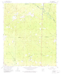
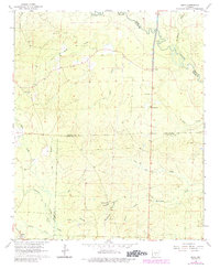
Bunn stands at the southwestern edge of this Arkansas landscape, where the C R I & P RR cuts through the timberlands of Dallas County. The 1964 survey reveals a territory defined by its complex drainage network, anchored by the Saline River and Hurricane Creek to the east, and the long reach of Moro Creek through the center. Small rural hubs like Farindale and scattered religious centers such as Shady Grove Ch and Lee Ridge Ch suggest a quiet mid-century agricultural and timber economy. Genealogists will find a wealth of family-named burial sites across the townships of Chester, Calvert, and Madison, including the Hardcastle Cem, Hampton Springs Cem, and Harrison Cem. The presence of several Gravel Pits in the eastern sectors points to local industry tied to the region's river-deposited resources during the early 1960s.
Find a feature on this map
34 named features on this map. Tap any name to fly to it.
Don’t see what you’re looking for? This feature index may not catch every label — zoom into the map to look around manually.
Map Details
Editions of this 1964 Bunn Map
3 editions found
Other maps of this area

1903 · Camden
USGS Topo · 1:125,000

1953 · El Dorado
USGS Topo · 1:250,000

1955 · Little Rock
USGS Topo · 1:250,000

1956 · Little Rock
USGS Topo · 1:250,000

1957 · El Dorado
USGS Topo · 1:250,000

1958 · El Dorado
USGS Topo · 1:250,000

1960 · El Dorado
USGS Topo · 1:250,000

1960 · Little Rock
USGS Topo · 1:250,000

1964 · Little Rock
USGS Topo · 1:250,000

1964 · Staves
USGS Topo · 1:24,000