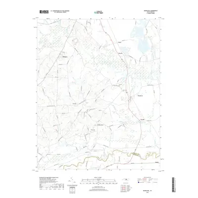
2019 Map of Bunnlevel
USGS Topo · Published 2019About this map
The Upper Little River and its meandering tributaries dominate this Harnett County landscape, carving through a region defined by agricultural heritage and small rural communities. Lillington sits at the northern edge, while the town of Bunnlevel serves as a central hub for the surrounding network of country roads. The map reveals a high density of family-named landmarks and local burial sites, such as Friendship Cem and Bunnlevel Cem, which offer significant value for genealogical research.
Find a feature on this map
103 named features on this map. Tap any name to fly to it.
Don’t see what you’re looking for? This feature index may not catch every label — zoom into the map to look around manually.
Map Details
Editions of this 2019 Bunnlevel Map
This is the sole edition of this map. No revisions or reprints were ever made.
Other maps of this area

1948 · Fayetteville
USGS Topo · 1:62,500

1948 · Slocomb
USGS Topo · 1:24,000

1950 · Manchester
USGS Topo · 1:24,000

1950 · Slocomb
USGS Topo · 1:24,000

1953 · Raleigh
USGS Topo · 1:250,000

1954 · Raleigh
USGS Topo · 1:250,000

1956 · Anderson Creek
USGS Topo · 1:24,000

1956 · Bunnlevel
USGS Topo · 1:24,000
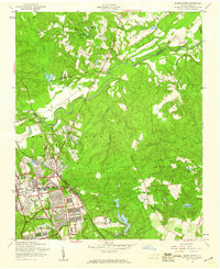
1957 · Manchester
USGS Topo · 1:24,000

1957 · Fayetteville
USGS Topo · 1:62,500