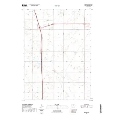
2018 Map of Burchinal
USGS Topo · Published 2018About this map
The agricultural landscape of Cerro Gordo County is defined by a rigid grid of rural routes, including Lark Ave and Jonquil Ave, which intersect the expansive drainage basins of north-central Iowa. Near the center of the quadrangle, the Mount Vernon Cem sits alone among the section lines, offering a quiet point of reference for local genealogists. The terrain is marked by the winding course of Beaverdam Cr and the marshy lowlands of Zerbel Slough, illustrating the natural hydrology that persists despite extensive land cultivation. To the north, the periphery of Clear Lake and the small settlement of Burchinal anchor the map, showing the proximity of established communities to the productive farmlands that dominate this region.
Find a feature on this map
28 named features on this map. Tap any name to fly to it.
Don’t see what you’re looking for? This feature index may not catch every label — zoom into the map to look around manually.
Map Details
Editions of this 2018 Burchinal Map
This is the sole edition of this map. No revisions or reprints were ever made.
Other maps of this area

1954 · Mason City
USGS Topo · 1:250,000

1954 · Waterloo
USGS Topo · 1:250,000

1955 · Waterloo
USGS Topo · 1:250,000

1957 · Mason City
USGS Topo · 1:250,000

1958 · Mason City
USGS Topo · 1:250,000

1959 · Mason City
USGS Topo · 1:24,000

1959 · Mason City
USGS Topo · 1:62,500

1959 · Hanford
USGS Topo · 1:24,000

1972 · Clear Lake West
USGS Topo · 1:24,000

1972 · Thornton
USGS Topo · 1:24,000