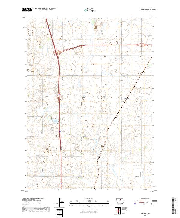
2022 Map of Burchinal
USGS Topo · Published 2022About this map
The unincorporated community of Burchinal anchors this portion of Cerro Gordo County, representing a quintessential Iowa agricultural landscape defined by a precise section-line road grid. The transition of historical infrastructure is visible through the Railroad R.O.W. Corridor Trl, which follows a diagonal path through the township, marking the legacy of rail transport in the region. Water features like Zerbel Slough and the winding Beaverdam Cr provide a natural contrast to the geometric agricultural plots. Near the center of the survey, the Mount Vernon Cem serves as a vital touchstone for local genealogy, situated along Jonquil Ave. The map also captures the southeastern edge of Clear Lake, where the landscape begins to shift from the suburban periphery toward the expansive rural interior of T95N and T96N.
Find a feature on this map
30 named features on this map. Tap any name to fly to it.
Don’t see what you’re looking for? This feature index may not catch every label — zoom into the map to look around manually.
Map Details
Editions of this 2022 Burchinal Map
This is the sole edition of this map. No revisions or reprints were ever made.
Other maps of this area

1954 · Mason City
USGS Topo · 1:250,000

1954 · Waterloo
USGS Topo · 1:250,000

1955 · Waterloo
USGS Topo · 1:250,000

1957 · Mason City
USGS Topo · 1:250,000

1958 · Mason City
USGS Topo · 1:250,000

1959 · Mason City
USGS Topo · 1:24,000

1959 · Mason City
USGS Topo · 1:62,500

1959 · Hanford
USGS Topo · 1:24,000

1972 · Clear Lake West
USGS Topo · 1:24,000

1972 · Thornton
USGS Topo · 1:24,000