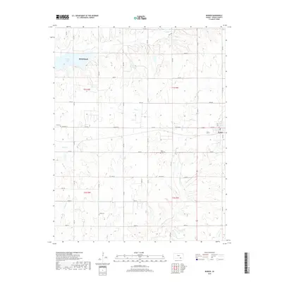
2018 Map of Burden
USGS Topo · Published 2018About this map
The prairie landscape of eastern Cowley County is defined by a dense network of watercourses and rural burial sites. The city of Burden sits at the intersection of local roads and state routes, while a portion of Winfield extends into the northwest corner near the shores of Timber Creek Lake. The terrain is deeply etched by numerous drainages, including the winding paths of Snake Cr, Cedar Cr, and Silver Cr, which follow the natural contours of the Kansas plains.
Find a feature on this map
42 named features on this map. Tap any name to fly to it.
Don’t see what you’re looking for? This feature index may not catch every label — zoom into the map to look around manually.
Map Details
Editions of this 2018 Burden Map
This is the sole edition of this map. No revisions or reprints were ever made.
Other maps of this area

1889 · Burden
USGS Topo · 1:125,000

1955 · Wichita
USGS Topo · 1:250,000

1958 · Wichita
USGS Topo · 1:250,000

1962 · Dexter
USGS Topo · 1:24,000

1962 · Cambridge
USGS Topo · 1:24,000

1964 · Cambridge NW
USGS Topo · 1:24,000

1964 · Burden
USGS Topo · 1:24,000
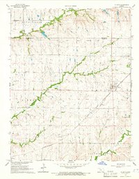
1964 · Atlanta
USGS Topo · 1:24,000

1965 · Eaton
USGS Topo · 1:24,000

1965 · Winfield
USGS Topo · 1:24,000