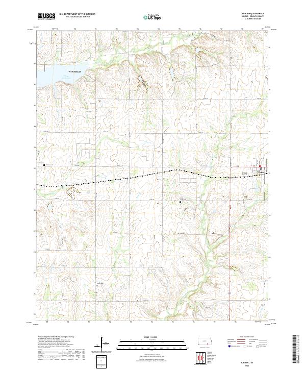
2022 Map of Burden
USGS Topo · Published 2022About this map
Burden and the eastern outskirts of Winfield anchor this Cowley County landscape, where the prairie is deeply etched by a network of drainage systems. The northern reaches are dominated by Timber Creek Lake and Timber Cr, while the central and southern portions are defined by the winding paths of Snake Cr, Silver Creek, and Cedar Cr. This drainage pattern influenced the placement of early infrastructure and community landmarks.
Find a feature on this map
43 named features on this map. Tap any name to fly to it.
Don’t see what you’re looking for? This feature index may not catch every label — zoom into the map to look around manually.
Map Details
Editions of this 2022 Burden Map
This is the sole edition of this map. No revisions or reprints were ever made.
Other maps of this area

1889 · Burden
USGS Topo · 1:125,000

1955 · Wichita
USGS Topo · 1:250,000

1958 · Wichita
USGS Topo · 1:250,000

1962 · Dexter
USGS Topo · 1:24,000

1962 · Cambridge
USGS Topo · 1:24,000

1964 · Cambridge NW
USGS Topo · 1:24,000

1964 · Burden
USGS Topo · 1:24,000
1964 · Atlanta
USGS Topo · 1:24,000

1965 · Eaton
USGS Topo · 1:24,000

1965 · Winfield
USGS Topo · 1:24,000