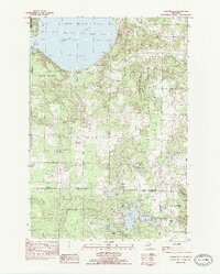
1983 Map of Burdickville
USGS Topo · Published 1984About this map
Glen Lake dominates this northern Michigan landscape, where the settlements of Burdickville and Hatlems sit near the water's edge. The map reflects a period of established conservation and recreation, showing the boundaries of the Sleeping Bear Dunes National Lakeshore to the west and the Pere Marquette State Forest to the south. Local community life is grounded by landmarks such as the Glen Lake Ch, Glen Lake Sch, and several rural burial grounds including Tobin Cem and Rose Hill Cem.
Find a feature on this map
50 named features on this map. Tap any name to fly to it.
Don’t see what you’re looking for? This feature index may not catch every label — zoom into the map to look around manually.
Map Details
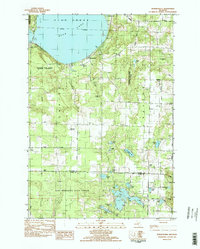
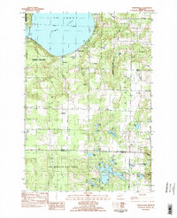
Editions of this 1983 Burdickville Map
3 editions found
Other maps of this area

1954 · Traverse City
USGS Topo · 1:250,000

1954 · Manitowoc
USGS Topo · 1:250,000

1956 · Thompsonville
USGS Topo · 1:62,500

1956 · Frankfort
USGS Topo · 1:62,500

1957 · Empire
USGS Topo · 1:62,500

1957 · Maple City
USGS Topo · 1:62,500

1958 · Traverse City
USGS Topo · 1:250,000

1958 · Manitowoc
USGS Topo · 1:250,000

1976 · Thompsonville NE
USGS Topo · 1:24,000

1976 · Thompsonville NW
USGS Topo · 1:24,000
Featured Places
- Platte Township, MI
- Glen Arbor Township, MI
- Cleveland Township, MI
- Almira Township, MI
- Kasson Township, MI