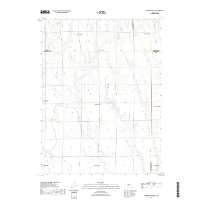
2017 Map of Burger Canyon SE
USGS Topo · Published 2017About this map
Blackwood Cr meanders through this agricultural landscape at the meeting point of four Nebraska counties. The 2017 survey reveals an intricate irrigation network essential to the region's productivity, featuring the Culbertson-Extension Canal, the Culbertson Canal, and the Blackwood Lateral Canal. This water management system underscores the transition from natural drainage to a highly engineered prairie environment. Local land use is further characterized by the presence of Miller Reservoir and the private landing strip at Hock Airport, reflecting the intersection of rural industry and aviation. The map preserves the exact township and range boundaries that define property lines across this corner of Hayes, Frontier, Hitchcock, and Red Willow counties.
Find a feature on this map
35 named features on this map. Tap any name to fly to it.
Don’t see what you’re looking for? This feature index may not catch every label — zoom into the map to look around manually.
Map Details
Editions of this 2017 Burger Canyon SE Map
This is the sole edition of this map. No revisions or reprints were ever made.
Other maps of this area

1954 · McCook
USGS Topo · 1:250,000

1957 · McCook
USGS Topo · 1:250,000

1958 · McCook
USGS Topo · 1:250,000

1962 · Culbertson NW
USGS Topo · 1:24,000

1970 · Red Willow Dam
USGS Topo · 1:24,000

1970 · Quick
USGS Topo · 1:24,000
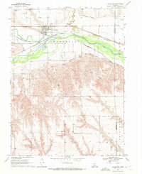
1970 · Culbertson
USGS Topo · 1:24,000

1970 · McCook West
USGS Topo · 1:24,000

1970 · Burger Canyon SE
USGS Topo · 1:24,000

1970 · Burger Canyon East
USGS Topo · 1:24,000