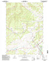
1993 Map of Burgess Junction
USGS Topo · Published 1997About this map
Bighorn National Forest defines the high-altitude landscape of this 1993 survey, where mountain drainages and forest management infrastructure converge. At the intersection of the Medicine Wheel Passage and the North Tongue River, Burgess Junction serves as a central point for highland travel and forestry. The presence of the Burgess Work Center, a Heliport, and a Sewage Treatment Plant reflects the operational footprint of the Forest Service in managing these public lands.
Find a feature on this map
34 named features on this map. Tap any name to fly to it.
Don’t see what you’re looking for? This feature index may not catch every label — zoom into the map to look around manually.
Map Details
Editions of this 1993 Burgess Junction Map
This is the sole edition of this map. No revisions or reprints were ever made.
Other maps of this area

1895 · Dayton
USGS Topo · 1:125,000

1898 · Bald Mountain
USGS Topo · 1:125,000

1901 · Dayton
USGS Topo · 1:125,000

1901 · Bald Mountain
USGS Topo · 1:125,000

1955 · Sheridan
USGS Topo · 1:250,000

1958 · Sheridan
USGS Topo · 1:250,000

1960 · Granite Pass
USGS Topo · 1:24,000

1960 · Hidden Tepee Creek
USGS Topo · 1:24,000

1962 · Sheridan
USGS Topo · 1:250,000
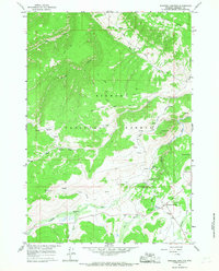
1964 · Burgess Junction
USGS Topo · 1:24,000