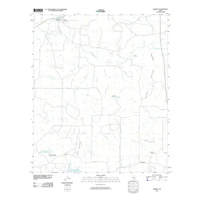
2010 Map of Burkett
USGS Topo · Published 2010About this map
The small communities of Burkett and Grosvenor anchor this West Texas landscape, where the terrain shifts from the low elevations of Bowden Hollow to the localized peaks of the Holloway Mountains and Barefoot Mountains. Water management is a defining characteristic of the area, evidenced by numerous man-made features like the Burkett City Dam and multiple conservation efforts such as the Soil Conservation Service Site 3 Reservoir.
Find a feature on this map
46 named features on this map. Tap any name to fly to it.
Don’t see what you’re looking for? This feature index may not catch every label — zoom into the map to look around manually.
Map Details
Editions of this 2010 Burkett Map
This is the sole edition of this map. No revisions or reprints were ever made.
Other maps of this area

1887 · Coleman
USGS Topo · 1:125,000

1889 · Coleman
USGS Topo · 1:125,000

1924 · Coleman 1-a
USGS Topo · 1:48,000

1924 · Brownwood Reservoir Site
USGS Topo · 1:48,000

1927 · Grosvenor
USGS Topo · 1:62,500

1931 · Baird
USGS Topo · 1:125,000

1932 · Baird
USGS Topo · 1:125,000

1954 · Brownwood
USGS Topo · 1:250,000

1954 · Abilene
USGS Topo · 1:250,000

1958 · Abilene
USGS Topo · 1:250,000