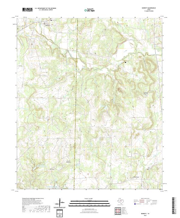
2022 Map of Burkett
USGS Topo · Published 2022About this map
The border between Coleman and Brown counties divides this rural landscape, where the settlements of Burkett and Grosvenor anchor a territory defined by seasonal watercourses and low mountain ranges. Significant family history is preserved at the Burkett Cemetery, Smith Cemetery, and Lewis Family Cemetery, suggesting generations of ranching and farming heritage near Pecan Bayou. The terrain is punctuated by the Barefoot Mountains and Holloway Mountains, along with local landmarks like Red Knob. Hydrological features including Jolley Lake, McReynolds Spring, and various conservation sites such as Soil Conservation Service Site 3 Reservoir illustrate the management of the watershed in this North Texas region. The road network of local connectors and farm-to-market routes like FM 585 links these scattered homesteads across the drainage basins of Gobbler Branch and Turkey Creek.
Find a feature on this map
48 named features on this map. Tap any name to fly to it.
Don’t see what you’re looking for? This feature index may not catch every label — zoom into the map to look around manually.
Map Details
Editions of this 2022 Burkett Map
This is the sole edition of this map. No revisions or reprints were ever made.
Other maps of this area

1887 · Coleman
USGS Topo · 1:125,000

1889 · Coleman
USGS Topo · 1:125,000

1924 · Coleman 1-a
USGS Topo · 1:48,000

1924 · Brownwood Reservoir Site
USGS Topo · 1:48,000

1927 · Grosvenor
USGS Topo · 1:62,500

1931 · Baird
USGS Topo · 1:125,000

1932 · Baird
USGS Topo · 1:125,000

1954 · Brownwood
USGS Topo · 1:250,000

1954 · Abilene
USGS Topo · 1:250,000

1958 · Abilene
USGS Topo · 1:250,000