
1952 Map of Burlingame
USGS Topo · Published 1953About this map
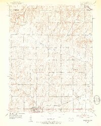
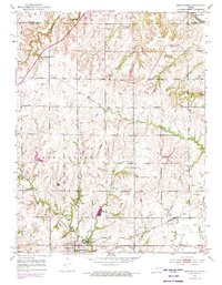
The railroad community of Burlingame serves as the focal point of this mid-century survey of the Osage County landscape. Situated along the Atchison Topeka and Santa Fe railroad, the town's position is reinforced by the surrounding agricultural and industrial features. Multiple Mine Dumps and a Mine Shaft located east of town point to the area's history of coal extraction, while the presence of the Fair Plain Grange Hall and Pleasant Valley Grange Hall underscore the importance of local farming organizations during this era.
Find a feature on this map
22 named features on this map. Tap any name to fly to it.
Don’t see what you’re looking for? This feature index may not catch every label — zoom into the map to look around manually.
Map Details
Editions of this 1952 Burlingame Map
3 editions found
Other maps of this area

1889 · Burlingame
USGS Topo · 1:125,000

1894 · Burlingame
USGS Topo · 1:125,000

1947 · Lawrence
USGS Topo · 1:250,000

1950 · Lawrence
USGS Topo · 1:250,000

1952 · Auburn
USGS Topo · 1:24,000

1952 · Harveyville
USGS Topo · 1:24,000
1952 · Dover
USGS Topo · 1:24,000
1955 · Wakarusa
USGS Topo · 1:24,000

1955 · Carbondale
USGS Topo · 1:24,000

1956 · Lawrence
USGS Topo · 1:250,000