2022 Map of Burlington
USGS Topo · Published 2022About this map
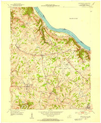
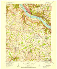
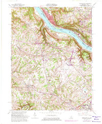
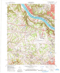
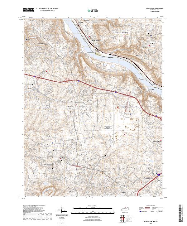
The Ohio River carves a deep valley through this landscape, marking the historical and political boundary between Cincinnati, Ohio, and the rolling hills of Boone County, Kentucky. This modern survey illustrates the intensive infrastructure supporting the region, most notably the sprawling footprint of the Cincinnati/Northern Kentucky International Airport which dominates the central terrain. While suburban expansion is evident in settlements like Hebron and Burlington, the map preserves a dense network of family and community history through its numerous burial grounds. From the Old Burlington Cem and Independent Order of Odd Fellows Cem in the south to the cluster of religious sites near Delhi such as Mount Saint Joseph University, the sheet serves as a guide to the area's institutional roots and civic centers like the Boone County Justice Center.
Find a feature on this map
55 named features on this map. Tap any name to fly to it.
Don’t see what you’re looking for? This feature index may not catch every label — zoom into the map to look around manually.
Map Details
Editions of this 2022 Burlington Map
This is the sole edition of this map. No revisions or reprints were ever made.
Historical Maps of Taylorsport Through Time
5 maps found