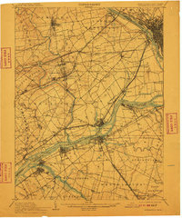
1906 Map of Burlington
USGS Topo · Published 1910About this map
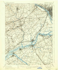
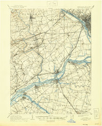
The Delaware River serves as the central artery for this early twentieth-century landscape, dividing the industrial and agricultural corridors of Bucks County, Pennsylvania, and Burlington County, New Jersey. The map reveals a complex transportation network where the Pennsylvania Railroad and Philadelphia and Reading Railroad intersect with older water routes like the Pennsylvania Canal Delaware Division. Settlement patterns are well-defined, showing established borough centers such as Langhorne and Morrisville alongside smaller postal hamlets like Holland PO and Eden PO.
Find a feature on this map
130 named features on this map. Tap any name to fly to it.
Don’t see what you’re looking for? This feature index may not catch every label — zoom into the map to look around manually.
Map Details
Editions of this 1906 Burlington Map
6 editions found
Other maps of this area

1888 · Bordentown
USGS Topo · 1:62,500

1888 · Pemberton
USGS Topo · 1:62,500

1888 · Mount Holly
USGS Topo · 1:62,500

1888 · Princeton
USGS Topo · 1:62,500

1890 · Lambertville
USGS Topo · 1:62,500

1890 · Doylestown
USGS Topo · 1:62,500

1890 · Burlington
USGS Topo · 1:62,500

1891 · Lambertville
USGS Topo · 1:62,500

1891 · Doylestown
USGS Topo · 1:62,500

1891 · Philadelphia
USGS Topo · 1:62,500