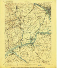
1906 Map of Burlington
USGS Topo · Published 1916About this map
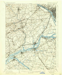
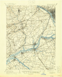
The Delaware River serves as the central artery for this early twentieth-century landscape, separating the townships of Bucks Co, Pennsylvania, from Burlington Co, New Jersey. The map reveals an intensive era of transportation, where the Delaware Division Pennsylvania Canal and the Trenton Water Power Race parallel the river, supporting a network of industrial landings such as Tullytown Wharf and Andalusia Wharf. The density of the rail network is striking, featuring the Philadelphia and Reading RR and the Trenton Cut-Off, which facilitated the movement of goods between Philadelphia and the New York markets.
Find a feature on this map
130 named features on this map. Tap any name to fly to it.
Don’t see what you’re looking for? This feature index may not catch every label — zoom into the map to look around manually.
Map Details
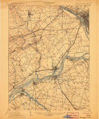
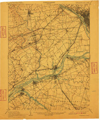
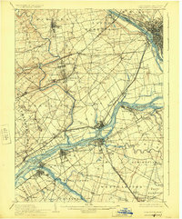
Editions of this 1906 Burlington Map
6 editions found
Other maps of this area

1888 · Bordentown
USGS Topo · 1:62,500

1888 · Pemberton
USGS Topo · 1:62,500

1888 · Mount Holly
USGS Topo · 1:62,500

1888 · Princeton
USGS Topo · 1:62,500

1890 · Lambertville
USGS Topo · 1:62,500

1890 · Doylestown
USGS Topo · 1:62,500

1890 · Burlington
USGS Topo · 1:62,500

1891 · Lambertville
USGS Topo · 1:62,500

1891 · Doylestown
USGS Topo · 1:62,500

1891 · Philadelphia
USGS Topo · 1:62,500