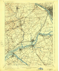
1906 Map of Burlington
USGS Topo · Published 1924About this map
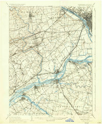
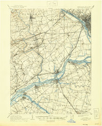
The Delaware River serves as the industrial and transit spine of this landscape, connecting the growing hubs of Pennsylvania and New Jersey before the mid-century expansion. This survey captures a dense network of transport infrastructure, most notably the Delaware Division Pennsylvania Canal and several major rail lines including the Phila and Reading RR and the Trenton Cut-Off. These corridors shaped the development of settlements like Hulmeville, Langhorne, and Fallsington, which stand alongside agricultural lands defined by family names and small post offices.
Find a feature on this map
128 named features on this map. Tap any name to fly to it.
Don’t see what you’re looking for? This feature index may not catch every label — zoom into the map to look around manually.
Map Details
Editions of this 1906 Burlington Map
6 editions found
Other maps of this area

1888 · Bordentown
USGS Topo · 1:62,500

1888 · Pemberton
USGS Topo · 1:62,500

1888 · Mount Holly
USGS Topo · 1:62,500

1888 · Princeton
USGS Topo · 1:62,500

1890 · Lambertville
USGS Topo · 1:62,500

1890 · Doylestown
USGS Topo · 1:62,500

1890 · Burlington
USGS Topo · 1:62,500

1891 · Lambertville
USGS Topo · 1:62,500

1891 · Doylestown
USGS Topo · 1:62,500

1891 · Philadelphia
USGS Topo · 1:62,500