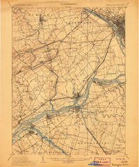
1906 Map of Burlington
USGS Topo · Published 1906About this map
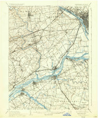
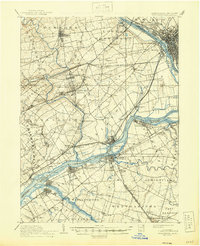
Delaware River navigation and a dense network of early 20th-century railroads define this landscape spanning the border between Pennsylvania and New Jersey. The map highlights the industrial and social infrastructure of the era, from the sprawling State Lunatic Asylum and its dedicated Asylum Station to the river-dependent commerce at Tullytown Wharf and Andalusia Wharf. The complex water transport system is further evidenced by the Delaware Division Pennsylvania Canal and the Delaware and Raritan Canal, which parallel the riverbanks.
Find a feature on this map
120 named features on this map. Tap any name to fly to it.
Don’t see what you’re looking for? This feature index may not catch every label — zoom into the map to look around manually.
Map Details
Editions of this 1906 Burlington Map
6 editions found
Other maps of this area

1888 · Bordentown
USGS Topo · 1:62,500

1888 · Pemberton
USGS Topo · 1:62,500

1888 · Mount Holly
USGS Topo · 1:62,500

1888 · Princeton
USGS Topo · 1:62,500

1890 · Lambertville
USGS Topo · 1:62,500

1890 · Doylestown
USGS Topo · 1:62,500

1890 · Burlington
USGS Topo · 1:62,500

1891 · Lambertville
USGS Topo · 1:62,500

1891 · Doylestown
USGS Topo · 1:62,500

1891 · Philadelphia
USGS Topo · 1:62,500