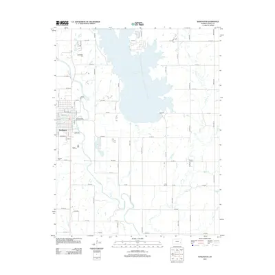
2012 Map of Burlington
USGS Topo · Published 2012About this map
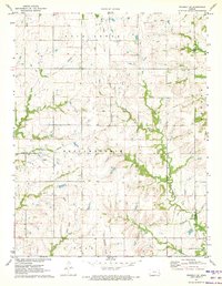
Coffey County Lake dominates the central landscape of this eastern Kansas survey, its irregular shoreline reaching north from the massive cooling reservoir infrastructure. The Neosho River meanders through the western portion of the quadrangle, passing just east of the city of Burlington. This river corridor is a focal point for local development, including the Burlington Water Treatment Facility and the Kelley Park Rodeo Arena, which serve as community landmarks near the water's edge.
Find a feature on this map
75 named features on this map. Tap any name to fly to it.
Don’t see what you’re looking for? This feature index may not catch every label — zoom into the map to look around manually.
Map Details
Editions of this 2012 Burlington Map
This is the sole edition of this map. No revisions or reprints were ever made.
Other maps of this area

1885 · Burlington
USGS Topo · 1:125,000

1894 · Burlington
USGS Topo · 1:125,000

1947 · Lawrence
USGS Topo · 1:250,000

1950 · Lawrence
USGS Topo · 1:250,000

1956 · Lawrence
USGS Topo · 1:250,000

1961 · Lawrence
USGS Topo · 1:250,000
1966 · John Redmond Dam
USGS Topo · 1:24,000
1967 · Gridley SE
USGS Topo · 1:24,000
1970 · Ottumwa
USGS Topo · 1:24,000
1971 · Waverly SE
USGS Topo · 1:24,000