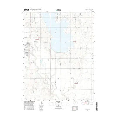
2015 Map of Burlington
USGS Topo · Published 2015About this map
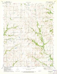
The Neosho River snakes through the western portion of this landscape, anchoring the city of Burlington. To the northeast, the massive footprint of Coffey County Lake dominates the terrain, its shoreline intricately carved by numerous inlets including Wolf Cr and Scott Cr. This survey captures the region's managed water systems and agricultural grid, with the Jrr rail line cutting through the river valley. Genealogists will find a high density of rural burial sites preserved across the townships, including Sherwood Cem, Pleasant Hill Cem, and Center Hill Cem. Outside the main settlement, the land rises toward Jackrabbit Hill and falls toward the swampy margins of Mathias Lake, showing the transition from the river's alluvial plain to the higher prairie. The grid of rural roads, such as 15th Rd and 7th Rd, provides clear markers for tracing family landholdings in this part of Kansas.
Find a feature on this map
85 named features on this map. Tap any name to fly to it.
Don’t see what you’re looking for? This feature index may not catch every label — zoom into the map to look around manually.
Map Details
Editions of this 2015 Burlington Map
This is the sole edition of this map. No revisions or reprints were ever made.
Other maps of this area

1885 · Burlington
USGS Topo · 1:125,000

1894 · Burlington
USGS Topo · 1:125,000

1947 · Lawrence
USGS Topo · 1:250,000

1950 · Lawrence
USGS Topo · 1:250,000

1956 · Lawrence
USGS Topo · 1:250,000

1961 · Lawrence
USGS Topo · 1:250,000
1966 · John Redmond Dam
USGS Topo · 1:24,000
1967 · Gridley SE
USGS Topo · 1:24,000
1970 · Ottumwa
USGS Topo · 1:24,000
1971 · Waverly SE
USGS Topo · 1:24,000