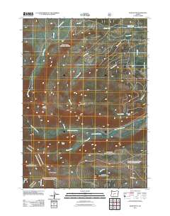
2011 Map of Burn Butte
USGS Topo · Published 2011About this map
The Little Deschutes River winds through this section of Douglas County, serving as a primary hydrologic artery for a landscape defined by volcanic peaks and high-elevation drainages. Surveys from this era illustrate a complex network of forest roads and trails that navigate the steep gradients between Cappy Mountain and Miller Mountain. These routes provide access to the upper reaches of numerous tributaries, including Big Marsh Creek and Spruce Creek, which feed into the larger river system.
Find a feature on this map
19 named features on this map. Tap any name to fly to it.
Don’t see what you’re looking for? This feature index may not catch every label — zoom into the map to look around manually.
Map Details
Editions of this 2011 Burn Butte Map
This is the sole edition of this map. No revisions or reprints were ever made.
Other maps of this area

1917 · Diamond Lake
USGS Topo · 1:125,000

1935 · Chemult
USGS Topo · 1:96,000

1941 · Chemult
USGS Topo · 1:125,000

1955 · Crescent
USGS Topo · 1:250,000

1956 · Diamond Lake
USGS Topo · 1:62,500

1956 · Summit Lake
USGS Topo · 1:62,500

1957 · Crescent
USGS Topo · 1:250,000

1958 · Crescent
USGS Topo · 1:250,000

1958 · Roseburg
USGS Topo · 1:250,000

1959 · Roseburg
USGS Topo · 1:250,000