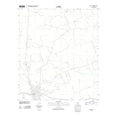
2010 Map of Burnet
USGS Topo · Published 2010About this map
Burnet serves as the focal point of this Central Texas landscape, situated where the Edwards Plateau transitions toward the Llano Uplift. The settlement pattern reflects a mix of traditional ranching roots and modern rural residential growth, with historical sites like Pleasant Hill Cemetery and Bethel Cemetery anchored in the northern reaches. Waterways such as the Russell Fork San Gabriel River and North Fork San Gabriel River carve through the limestone-influenced terrain, while smaller tributaries like Daugherty Branch and Haynie Branch drain the area surrounding the town center. To the southwest, Post Mountain provides a prominent topographic landmark. Further southeast, the small community of Summit sits along the roadway network, illustrating the spread of local development beyond the main township along routes like Shady Grove Rd and Old San Saba Rd.
Find a feature on this map
32 named features on this map. Tap any name to fly to it.
Don’t see what you’re looking for? This feature index may not catch every label — zoom into the map to look around manually.
Map Details
Editions of this 2010 Burnet Map
This is the sole edition of this map. No revisions or reprints were ever made.
Other maps of this area

1887 · Burnet
USGS Topo · 1:125,000

1893 · Burnet
USGS Topo · 1:125,000

1903 · Burnet
USGS Topo · 1:125,000

1909 · Burnet
USGS Topo · 1:125,000

1929 · Marble Falls
USGS Topo · 1:62,500

1932 · Tow
USGS Topo · 1:62,500

1932 · Marble Falls
USGS Topo · 1:62,500

1932 · Bertram
USGS Topo · 1:62,500

1954 · Llano
USGS Topo · 1:250,000

1955 · Llano
USGS Topo · 1:250,000