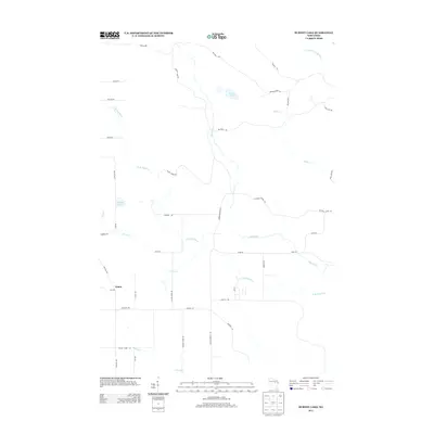
2013 Map of Burney Lake
USGS Topo · Published 2013About this map
Almon serves as the primary named settlement in this Shawano County region, situated along the western edge of a landscape defined by the branching tributaries of the Red River. The geography is characterized by an intricate network of waterways, including the W Br Red River and several smaller streams like Silver Cr and Hennig Cr. These watercourses dictate the local road layout, where routes such as Mohheconnuck Rd and River Rd follow the natural topography.
Find a feature on this map
42 named features on this map. Tap any name to fly to it.
Don’t see what you’re looking for? This feature index may not catch every label — zoom into the map to look around manually.
Map Details
Editions of this 2013 Burney Lake Map
This is the sole edition of this map. No revisions or reprints were ever made.
Other maps of this area

1952 · Antigo
USGS Topo · 1:48,000

1952 · White Lake
USGS Topo · 1:48,000

1954 · Wittenberg
USGS Topo · 1:48,000

1954 · Gresham
USGS Topo · 1:48,000

1954 · Iron Mountain
USGS Topo · 1:250,000

1955 · Green Bay
USGS Topo · 1:250,000

1959 · Iron Mountain
USGS Topo · 1:250,000

1964 · Wittenberg
USGS Topo · 1:62,500

1964 · Gresham
USGS Topo · 1:62,500
1973 · Mattoon
USGS Topo · 1:24,000