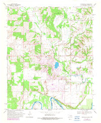
1968 Map of Burneyville
USGS Topo · Published 1982About this map
The Red River defines the southern boundary of this Oklahoma-Texas border region, carving dramatic horseshoe curves at Tyas Bend and Warrens Bend. This landscape transitions from the river bottomlands up through the rolling terrain of Burney, where the settlement of Burneyville serves as a central point of interest. The area is marked by a mix of agricultural utility and recreational development, evidenced by the Turner Lodge, an adjacent Golf Course, and a landing strip situated near the winding course of Walnut Bayou.
Find a feature on this map
29 named features on this map. Tap any name to fly to it.
Don’t see what you’re looking for? This feature index may not catch every label — zoom into the map to look around manually.
Map Details
Editions of this 1968 Burneyville Map
2 editions found
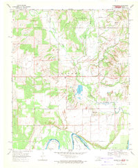
Other maps of this area

1901 · Ardmore
USGS Topo · 1:125,000

1902 · Gainesville
USGS Topo · 1:125,000

1918 · Ardmore
USGS Topo · 1:125,000

1943 · Gainesville
USGS Topo · 1:125,000

1954 · Sherman
USGS Topo · 1:250,000

1957 · Ardmore
USGS Topo · 1:250,000

1958 · Sherman
USGS Topo · 1:250,000

1963 · Ardmore
USGS Topo · 1:250,000

1964 · Overbrook
USGS Topo · 1:24,000
1968 · Thackerville
USGS Topo · 1:24,000