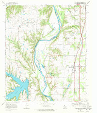
1968 Map of Thackerville
USGS Topo · Published 1971About this map
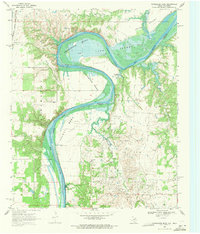
The Red River meanders along the border of Love County, Oklahoma, and Cooke County, Texas, defining a landscape of riparian bottoms and industrial activity in the late 1960s. The Sivells Bend Oil Field dominates the northwestern portion of the map, supported by a refinery and numerous oil wells situated near the Sivells Bend Sch. Across the river in Oklahoma, the town of Thackerville serves as a central hub along the Atchison Topeka and Santa Fe railroad, featuring a pumping station and a local Rodeo Ground.
Find a feature on this map
37 named features on this map. Tap any name to fly to it.
Don’t see what you’re looking for? This feature index may not catch every label — zoom into the map to look around manually.
Map Details
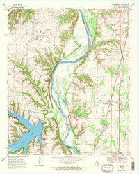
Editions of this 1968 Thackerville Map
2 editions found
Other maps of this area

1902 · Gainesville
USGS Topo · 1:125,000

1943 · Gainesville
USGS Topo · 1:125,000

1954 · Sherman
USGS Topo · 1:250,000

1958 · Sherman
USGS Topo · 1:250,000

1960 · Callisburg
USGS Topo · 1:24,000

1960 · Gainesville North
USGS Topo · 1:24,000

1961 · Muenster East
USGS Topo · 1:24,000
1967 · Marietta East
USGS Topo · 1:24,000
1968 · Burneyville
USGS Topo · 1:24,000
1968 · Horseshoe Bend
USGS Topo · 1:24,000