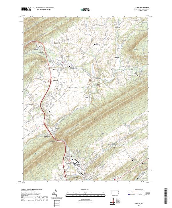
2023 Map of Burnham
USGS Topo · Published 2023About this map
Kishacoquillas Valley dominates this central Pennsylvania landscape, serving as a fertile corridor between the high ridges of Front Mountain and Jacks Mountain. This region is defined by a dense concentration of small communities and rural cemeteries that speak to generations of settlement, including the Back Mountain Road Amish Cem and Milroy Presbyterian Cem. The industrial and residential character of the area is anchored by Burnham and Yeagertown at the southern end, where the landscape narrows significantly at Mann Narrows.
Find a feature on this map
141 named features on this map. Tap any name to fly to it.
Don’t see what you’re looking for? This feature index may not catch every label — zoom into the map to look around manually.
Map Details
Editions of this 2023 Burnham Map
This is the sole edition of this map. No revisions or reprints were ever made.
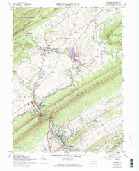
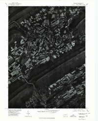
Historical Maps of Yeagertown Through Time
3 maps found
Featured Locations
- Burnham, PA
- Decatur Township, PA
- Granville Township, PA
- Highland Park, Derry Township
- Milroy, Armagh Township