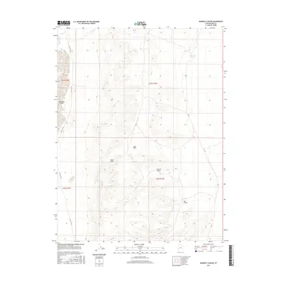
2017 Map of Burnout Canyon
USGS Topo · Published 2017About this map
The House Range dominates the central topography of this Millard County landscape, a stark geological feature that defines the local drainage patterns. To the east, the Black Hills rise above the high desert floor, eventually descending into the drainage of Burnout Canyon and Red Canyon. These landforms illustrate the complex basin and range physiology of the region, where seasonal water movements are captured by the Sevier Lake Reservoir in the northeast corner of the sheet.
Find a feature on this map
12 named features on this map. Tap any name to fly to it.
Don’t see what you’re looking for? This feature index may not catch every label — zoom into the map to look around manually.
Map Details
Editions of this 2017 Burnout Canyon Map
This is the sole edition of this map. No revisions or reprints were ever made.
Other maps of this area

1908 · Fish Springs
USGS Topo · 1:250,000

1910 · Fish Springs
USGS Topo · 1:250,000

1953 · Richfield
USGS Topo · 1:250,000

1953 · Delta
USGS Topo · 1:250,000

1958 · Richfield
USGS Topo · 1:250,000

1958 · Delta
USGS Topo · 1:250,000

1960 · Notch Peak
USGS Topo · 1:62,500

1960 · The Barn
USGS Topo · 1:62,500

1962 · Delta
USGS Topo · 1:250,000
1972 · Needle Point
USGS Topo · 1:24,000