
1936 Map of Burns
USGS Topo · Published 1936About this map
Tidwell and Pomona anchor the southwestern corner of Dickson County in this mid-1930s field examination, where the landscape is defined by the transitioning topography of the Basin and Divide. The N C And St L railroad line cuts a sharp path through this corridor, running parallel to the Tennessee Elec Power Line and the winding Tenn State Highway. This infrastructure highlights the early 20th-century modernization of rural Tennessee, as state and federal power initiatives began to overlay the older agricultural patterns.
Find a feature on this map
14 named features on this map. Tap any name to fly to it.
Don’t see what you’re looking for? This feature index may not catch every label — zoom into the map to look around manually.
Map Details
Editions of this 1936 Burns Map
This is the sole edition of this map. No revisions or reprints were ever made.
Other maps of this area

1901 · Colombia
USGS Topo · 1:125,000

1930 · White Bluff
USGS Topo · 1:62,500

1933 · White Bluff
USGS Topo · 1:62,500

1936 · Texas Hollow
USGS Topo · 1:24,000

1936 · Craigfield
USGS Topo · 1:24,000

1936 · Lyles
USGS Topo · 1:24,000

1936 · Dickson
USGS Topo · 1:24,000
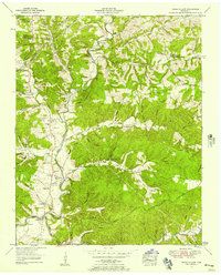
1952 · Texas Hollow
USGS Topo · 1:24,000

1953 · Dickson
USGS Topo · 1:24,000
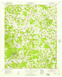
1953 · Lyles
USGS Topo · 1:24,000