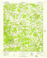
1953 Map of Lyles
USGS Topo · Published 1957About this map
The Tennessee Valley Divide cuts through the middle of this region, separating the drainage of the Barren Fork and Big Spring Creek from the southern hollows. The industrial character of the mid-20th century is evident in the rail corridor of the Nashville Chattanooga and St Louis railroad, which services the small communities of Lyles and Wrigley. These settlements developed around local industry, supported by a Pumping station and a Gravel Pit.
Find a feature on this map
99 named features on this map. Tap any name to fly to it.
Don’t see what you’re looking for? This feature index may not catch every label — zoom into the map to look around manually.
Map Details
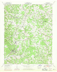
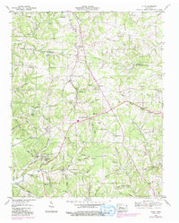
Editions of this 1953 Lyles Map
3 editions found
Other maps of this area

1901 · Colombia
USGS Topo · 1:125,000

1930 · White Bluff
USGS Topo · 1:62,500

1933 · White Bluff
USGS Topo · 1:62,500

1936 · Primm
USGS Topo · 1:24,000

1936 · Nunnelly
USGS Topo · 1:24,000

1936 · Littlelot
USGS Topo · 1:24,000

1936 · Texas Hollow
USGS Topo · 1:24,000

1936 · Burns
USGS Topo · 1:24,000

1936 · Craigfield
USGS Topo · 1:24,000

1936 · Lyles
USGS Topo · 1:24,000