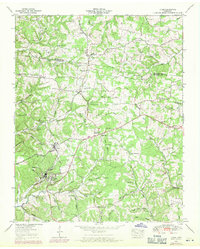
1953 Map of Lyles
USGS Topo · Published 1971About this map
The Tennessee Valley Divide snakes through this 1953 landscape, separating the headwaters of numerous hollows that define the Hickman County countryside. The industrial hub of Wrigley is a prominent feature, complete with a pumping station, Wrigley Sch, and an athletic field, all situated along the Louisville and Nashville railroad line. This transportation corridor connects the village to Lyles and Bon Aqua, where the terrain transitions into complex networks of family-named landmarks and rural institutions.
Find a feature on this map
98 named features on this map. Tap any name to fly to it.
Don’t see what you’re looking for? This feature index may not catch every label — zoom into the map to look around manually.
Map Details
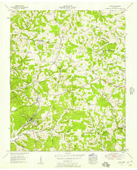
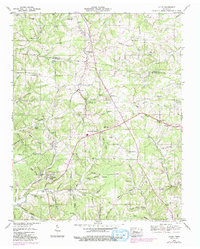
Editions of this 1953 Lyles Map
3 editions found
Other maps of this area

1901 · Colombia
USGS Topo · 1:125,000

1930 · White Bluff
USGS Topo · 1:62,500

1933 · White Bluff
USGS Topo · 1:62,500

1936 · Primm
USGS Topo · 1:24,000

1936 · Nunnelly
USGS Topo · 1:24,000

1936 · Littlelot
USGS Topo · 1:24,000

1936 · Texas Hollow
USGS Topo · 1:24,000

1936 · Burns
USGS Topo · 1:24,000

1936 · Craigfield
USGS Topo · 1:24,000

1936 · Lyles
USGS Topo · 1:24,000