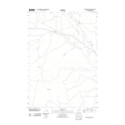
2011 Map of Burns Mountain
USGS Topo · Published 2011About this map
Tenmile House sits at the intersection of Ermont Rd and Big Hole Rd, marking a central junction in this ranching landscape. The terrain is defined by high points like Burns Mountain and Timber Butte, which overlook a network of water sources including Magpie Spring and School Section Spring. These springs, along with the Dillon Reservoir, represent the critical water infrastructure supporting the scattered agricultural operations in this corner of Beaverhead County.
Find a feature on this map
25 named features on this map. Tap any name to fly to it.
Don’t see what you’re looking for? This feature index may not catch every label — zoom into the map to look around manually.
Map Details
Editions of this 2011 Burns Mountain Map
This is the sole edition of this map. No revisions or reprints were ever made.
Other maps of this area

1893 · Dillon
USGS Topo · 1:250,000

1952 · Argenta
USGS Topo · 1:24,000

1952 · Bannack
USGS Topo · 1:24,000

1952 · Burns Mountain
USGS Topo · 1:24,000

1952 · Eli Spring
USGS Topo · 1:24,000

1952 · Dalys
USGS Topo · 1:24,000

1952 · Gallagher Mountain
USGS Topo · 1:24,000

1952 · Ermont
USGS Topo · 1:24,000

1955 · Dillon
USGS Topo · 1:250,000

1957 · Dillon
USGS Topo · 1:250,000