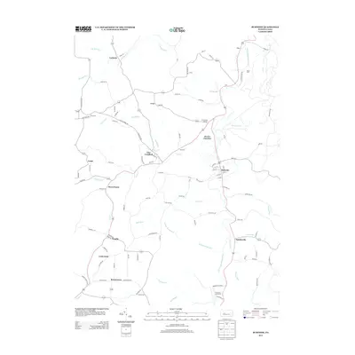
2013 Map of Burnside
USGS Topo · Published 2013About this map
Glen Campbell and Burnside anchor this detailed study of the upper W Br Susquehanna River valley, where the landscape is defined by the convergence of several major creek systems. The geography reveals a legacy of rail-linked industry, evidenced by points like Dowler Junction and Cush Creek Junction that once facilitated movement through the narrow valleys of Cush Cr and Rock Run. Smaller settlements such as Arcadia, Lochvale, and Patchinville are connected by a network of winding roads including Keener Rd and Glenwood Ave, tracing the contours of the high ground between watersheds. To the south, recreation and local history meet at the Chetremon Golf Course and the vicinity of Rowley Cemetery Rd, while Mount Airlie provides a prominent natural landmark overlooking the river's winding path as it flows toward the northeast corner of the quadrangle.
Find a feature on this map
108 named features on this map. Tap any name to fly to it.
Don’t see what you’re looking for? This feature index may not catch every label — zoom into the map to look around manually.
Map Details
Editions of this 2013 Burnside Map
This is the sole edition of this map. No revisions or reprints were ever made.
Other maps of this area

1902 · Patton
USGS Topo · 1:62,500

1902 · Barnesboro
USGS Topo · 1:62,500

1903 · Curwensville
USGS Topo · 1:62,500

1904 · Barnesboro
USGS Topo · 1:62,500

1904 · Patton
USGS Topo · 1:62,500

1906 · Punxsutawney
USGS Topo · 1:62,500

1939 · Curwensville
USGS Topo · 1:62,500

1939 · Punxsutawney
USGS Topo · 1:62,500

1942 · Curwensville
USGS Topo · 1:62,500

1942 · Punxsutawney
USGS Topo · 1:62,500
Featured Places
- Glen Campbell, PA
- Burnside, PA
- Banks Township, PA
- Hooverhurst, Montgomery Township
- Logan, Banks Township