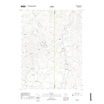
2019 Map of Burnside
USGS Topo · Published 2019About this map
The West Branch Susquehanna River carves a winding path through this portion of Indiana and Clearfield Counties, anchoring a landscape where coal mining and timber legacies shaped many of the small settlements. In the southwestern quadrant, the town of Glen Campbell sits nestled in the hills near Saint Michaels Cem, while the community of Arcadia lies just to the south. The topography is defined by numerous drainage systems like Cush Cr and Rock Run, which flow into the larger river valley near Burnside.
Find a feature on this map
85 named features on this map. Tap any name to fly to it.
Don’t see what you’re looking for? This feature index may not catch every label — zoom into the map to look around manually.
Map Details
Editions of this 2019 Burnside Map
This is the sole edition of this map. No revisions or reprints were ever made.
Other maps of this area

1902 · Patton
USGS Topo · 1:62,500

1902 · Barnesboro
USGS Topo · 1:62,500

1903 · Curwensville
USGS Topo · 1:62,500

1904 · Barnesboro
USGS Topo · 1:62,500

1904 · Patton
USGS Topo · 1:62,500

1906 · Punxsutawney
USGS Topo · 1:62,500

1939 · Curwensville
USGS Topo · 1:62,500

1939 · Punxsutawney
USGS Topo · 1:62,500

1942 · Curwensville
USGS Topo · 1:62,500

1942 · Punxsutawney
USGS Topo · 1:62,500
Featured Places
- Glen Campbell, PA
- Burnside, PA
- Banks Township, PA
- Hooverhurst, Montgomery Township
- Logan, Banks Township