Loading...
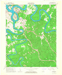
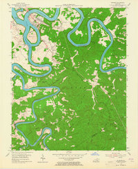
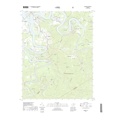
Loading map...1965 Map of Burnside
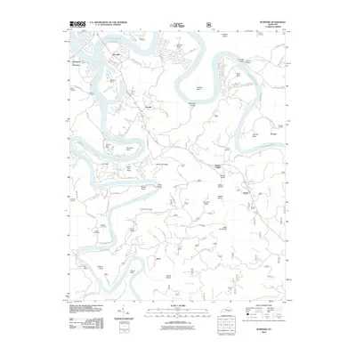
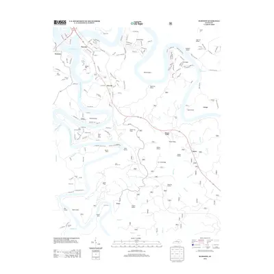
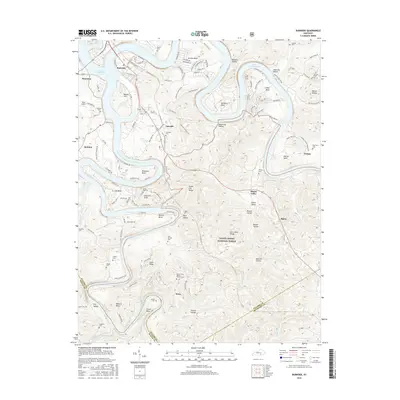
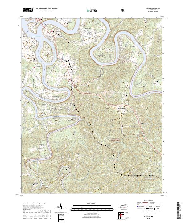
USGS Topo · Published 1967About this map
The waters of Lake Cumberland dominate this mid-1960s landscape, winding around prominent landforms like Woodson Bend and Antioch Bend. The town of Burnside sits at the northern confluence of the Cumberland River and its South Fork, adjacent to the developed General Burnside Island State Park. This era shows a community navigating the intersection of traditional industries and new recreational opportunities created by the reservoir.
Find a feature on this map
87 named features on this map. Tap any name to fly to it.
Don’t see what you’re looking for? This feature index may not catch every label — zoom into the map to look around manually.
Map Details
Date Portrayed1965
Date Published1967
PublisherU.S. Geological Survey
Map TypeTopographic
Scale1:24,000
Physical Dimensions22.6 x 27.4 inches
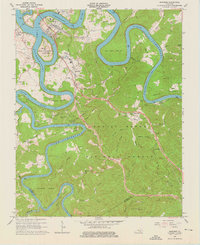
Editions of this 1965 Burnside Map
3 editions found
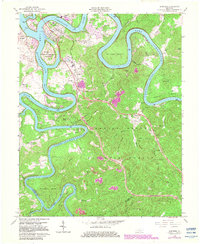
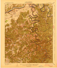
Historical Maps of Burnside Through Time
8 maps found
Featured Locations
Source Details
SourceU.S. Geological Survey
CopyrightPublic Domain