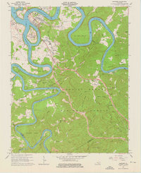
1965 Map of Burnside
USGS Topo · Published 1976About this map
The town of Burnside serves as a focal point for this mid-1960s survey of the Upper Cumberland region, where the Cumberland River and South Fork Lake Cumberland create a landscape of dramatic bends and high ridges. The map illustrates the industrial and transit infrastructure of the era, including the Southern railroad line, a Filtration Plant, and Charcoal Ovens near Tateville. The creation of the reservoir transformed the local geography, placing General Burnside Island State Park at the heart of the waterway.
Find a feature on this map
73 named features on this map. Tap any name to fly to it.
Don’t see what you’re looking for? This feature index may not catch every label — zoom into the map to look around manually.
Map Details
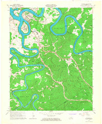
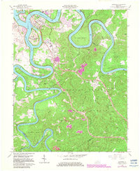
Editions of this 1965 Burnside Map
3 editions found
Other maps of this area

1890 · Williamsburg
USGS Topo · 1:125,000

1893 · London
USGS Topo · 1:125,000

1894 · Williamsburg
USGS Topo · 1:125,000

1897 · London
USGS Topo · 1:125,000

1932 · Burnside
USGS Topo · 1:62,500

1935 · Somerset
USGS Topo · 1:62,500

1952 · Hail
USGS Topo · 1:24,000

1952 · Wiborg
USGS Topo · 1:24,000

1952 · Dykes
USGS Topo · 1:24,000

1953 · Frazer
USGS Topo · 1:24,000