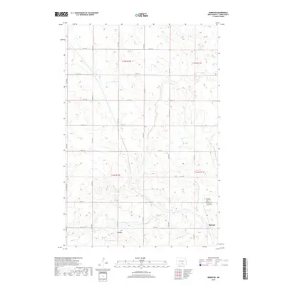
2018 Map of Burnstad
USGS Topo · Published 2018About this map
Burnstad stands as the primary settlement in this section of Logan County, situated along a grid of section-line roads that define the North Dakota prairie. The landscape is characterized by the winding course of Beaver Cr and the presence of several community landmarks essential for local genealogical research. To the north of the townsite, researchers will find the Red Lake Community Cem and the Saint Clara Catholic Cem, which serve as quiet markers of the area's religious and social history. The map also identifies Peters, another small point of interest along the creek. The township structure, divided by routes such as 70th St SE and 37th Ave SE, illustrates the organized agricultural settlement patterns of the region.
Find a feature on this map
24 named features on this map. Tap any name to fly to it.
Don’t see what you’re looking for? This feature index may not catch every label — zoom into the map to look around manually.
Map Details
Editions of this 2018 Burnstad Map
This is the sole edition of this map. No revisions or reprints were ever made.
Other maps of this area

1953 · Jamestown
USGS Topo · 1:250,000

1956 · Jamestown
USGS Topo · 1:250,000

1979 · Schell Buttes
USGS Topo · 1:24,000

1979 · McKenna Lake South
USGS Topo · 1:24,000

1980 · McKenna Lake North
USGS Topo · 1:24,000

1982 · Wishek SW
USGS Topo · 1:24,000

1982 · Wishek NE
USGS Topo · 1:24,000

1982 · Burnstad
USGS Topo · 1:24,000

1982 · Wishek
USGS Topo · 1:24,000

1983 · Alkaline Lake SW
USGS Topo · 1:24,000