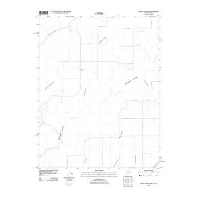
2011 Map of Burnt Cabin Creek
USGS Topo · Published 2011About this map
Cedar Cemetery sits at the heart of this high plateau landscape, marking a point of quiet history amid a network of deep drainages and cattle country. The terrain is defined by dramatic erosional features like Monument Canyon and Coal Bed Canyon, which carve through the earth to reveal the underlying geology. Water sources are scarce but vital, noted by the presence of Burnt Cabin Spring, Oak Spring, and Bug Spring. The map documents the persistent human presence through a grid of numbered thoroughfares such as County RD-1 and County RD-2, alongside named tracks like State Line Rd, which follows the administrative boundary. Land markers such as Cedar Point and Bug Point provide navigational anchors for those traversing the canyons and ridges of San Juan County.
Find a feature on this map
33 named features on this map. Tap any name to fly to it.
Don’t see what you’re looking for? This feature index may not catch every label — zoom into the map to look around manually.
Map Details
Editions of this 2011 Burnt Cabin Creek Map
This is the sole edition of this map. No revisions or reprints were ever made.
Other maps of this area

1886 · Abajo
USGS Topo · 1:250,000

1892 · Abajo
USGS Topo · 1:250,000

1893 · Abajo
USGS Topo · 1:250,000

1955 · Verdure 4 NW
USGS Topo · 1:24,000

1955 · Verdure 1 SW
USGS Topo · 1:24,000

1955 · Verdure 4 SW
USGS Topo · 1:24,000

1956 · Cortez
USGS Topo · 1:250,000

1957 · Cedar 3 NW
USGS Topo · 1:24,000

1957 · Cedar 3 SW
USGS Topo · 1:24,000

1957 · Monument Canyon
USGS Topo · 1:62,500