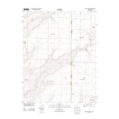
2013 Map of Burnt Cabin Creek
USGS Topo · Published 2013About this map
Cedar Point sits atop the high plateau where the border of Utah and Colorado meets, overlooking a landscape defined by deep drainages and isolated water sources. This high-country region is dissected by numerous geological features including Coal Bed Canyon and Monument Canyon, which fall away from the central mesa. The map illustrates a sparse settlement pattern connected by a network of rural roads such as CO Road K and State Line Rd, serving the cattle and farming interests of San Juan and Dolores counties.
Find a feature on this map
32 named features on this map. Tap any name to fly to it.
Don’t see what you’re looking for? This feature index may not catch every label — zoom into the map to look around manually.
Map Details
Editions of this 2013 Burnt Cabin Creek Map
This is the sole edition of this map. No revisions or reprints were ever made.
Other maps of this area

1886 · Abajo
USGS Topo · 1:250,000

1892 · Abajo
USGS Topo · 1:250,000

1893 · Abajo
USGS Topo · 1:250,000

1955 · Verdure 4 NW
USGS Topo · 1:24,000

1955 · Verdure 1 SW
USGS Topo · 1:24,000

1955 · Verdure 4 SW
USGS Topo · 1:24,000

1956 · Cortez
USGS Topo · 1:250,000

1957 · Cedar 3 NW
USGS Topo · 1:24,000

1957 · Cedar 3 SW
USGS Topo · 1:24,000

1957 · Monument Canyon
USGS Topo · 1:62,500