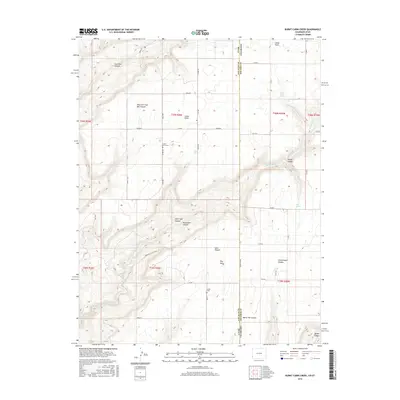
2016 Map of Burnt Cabin Creek
USGS Topo · Published 2016About this map
Cedar Point and its namesake Cedar Point Cem anchor the high plateau where the border of Utah and Colorado meets. This agricultural landscape is defined by its dramatic relief, where the flat upland mesas are suddenly carved by deep drainages like Oak Creek Canyon and Coal Bed Canyon. The transition from the cultivated fields of the north to the complex canyon systems of the south illustrates the hard environmental limits on settlement in this arid region.
Find a feature on this map
50 named features on this map. Tap any name to fly to it.
Don’t see what you’re looking for? This feature index may not catch every label — zoom into the map to look around manually.
Map Details
Editions of this 2016 Burnt Cabin Creek Map
This is the sole edition of this map. No revisions or reprints were ever made.
Other maps of this area

1886 · Abajo
USGS Topo · 1:250,000

1892 · Abajo
USGS Topo · 1:250,000

1893 · Abajo
USGS Topo · 1:250,000

1955 · Verdure 4 NW
USGS Topo · 1:24,000

1955 · Verdure 1 SW
USGS Topo · 1:24,000

1955 · Verdure 4 SW
USGS Topo · 1:24,000

1956 · Cortez
USGS Topo · 1:250,000

1957 · Cedar 3 NW
USGS Topo · 1:24,000

1957 · Cedar 3 SW
USGS Topo · 1:24,000

1957 · Monument Canyon
USGS Topo · 1:62,500