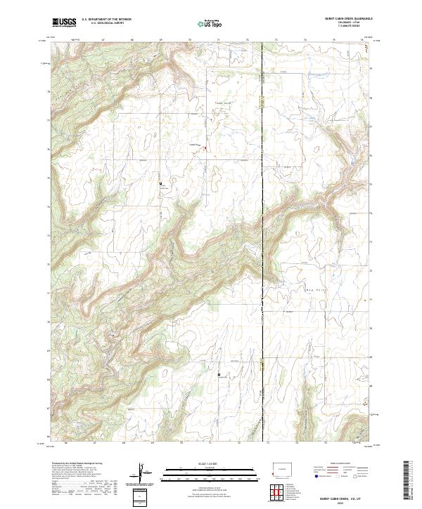
2023 Map of Burnt Cabin Creek
USGS Topo · Published 2023About this map
The High Plateau along the Utah Colorado border is defined by a network of steep-walled drainages and high mesa settlements. This modern survey of the region surrounding Cedar Point and Bug Point reveals a landscape carved by Monument Creek and Burnt Cabin Creek, where water sources like Oak Spring and Bug Spring were historically vital for local ranching. The presence of Cedar Point Cem and Urado Cem provides key reference points for genealogical researchers tracking families who established themselves in these high-elevation outposts. Cultural signatures such as Semadini, Carhart, and Wrights reflect the localized patterns of land ownership and naming that persist in this remote corner of San Juan and Dolores Counties. The terrain is characterized by dramatic elevation shifts into Cottonwood Canyon and Lake Canyon, illustrating the topographic challenges faced by early residents navigating between the high flats and the deep canyon floors.
Find a feature on this map
46 named features on this map. Tap any name to fly to it.
Don’t see what you’re looking for? This feature index may not catch every label — zoom into the map to look around manually.
Map Details
Editions of this 2023 Burnt Cabin Creek Map
This is the sole edition of this map. No revisions or reprints were ever made.
Other maps of this area

1886 · Abajo
USGS Topo · 1:250,000

1892 · Abajo
USGS Topo · 1:250,000

1893 · Abajo
USGS Topo · 1:250,000

1955 · Verdure 4 NW
USGS Topo · 1:24,000

1955 · Verdure 1 SW
USGS Topo · 1:24,000

1955 · Verdure 4 SW
USGS Topo · 1:24,000

1956 · Cortez
USGS Topo · 1:250,000

1957 · Cedar 3 NW
USGS Topo · 1:24,000

1957 · Cedar 3 SW
USGS Topo · 1:24,000

1957 · Monument Canyon
USGS Topo · 1:62,500