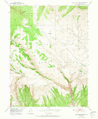
1950 Map of Burnt Cabin Gorge
USGS Topo · Published 1973About this map
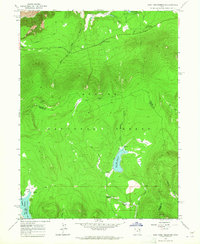
Ashley National Forest dominates this mid-century topographic study, where the high terrain of the Uinta Mountains drops into the deep incision of Burnt Cabin Gorge. The landscape reflects a ranching and livestock economy, evidenced by the Diamond Counting Corral and the Counting Station Reservoir situated near the head of Reader Creek. Water management is central to the area's utility, with various springs and small catchments like Association Reservoir and Bassett Spring distributed across the plateau.
Find a feature on this map
52 named features on this map. Tap any name to fly to it.
Don’t see what you’re looking for? This feature index may not catch every label — zoom into the map to look around manually.
Map Details
Editions of this 1950 Burnt Cabin Gorge Map
2 editions found
Other maps of this area

1885 · Ashley
USGS Topo · 1:250,000

1906 · Marsh Peak
USGS Topo · 1:125,000

1908 · Marsh Peak
USGS Topo · 1:125,000
1950 · Burnt Cabin Gorge
USGS Topo · 1:24,000
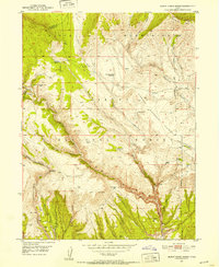
1950 · Blair Basin
USGS Topo · 1:24,000
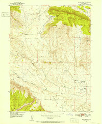
1950 · Dyer Mountain
USGS Topo · 1:24,000

1954 · Vernal
USGS Topo · 1:250,000

1958 · Vernal
USGS Topo · 1:250,000

1960 · Vernal
USGS Topo · 1:250,000
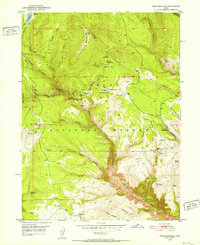
1963 · East Park Reservoir
USGS Topo · 1:24,000