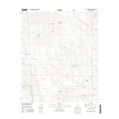
2013 Map of Burnt Corral Canyon
USGS Topo · Published 2013About this map
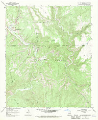
Gila National Forest encompasses the entirety of this high-elevation terrain in Catron County, where deep drainages like Burnt Corral Canyon and Windfall Canyon define the landscape's movement. The map captures a complex network of artificial water sources essential for livestock and wildlife, including Mattice Tank, Shafi Tank, and the CCC Tank, which likely references the legacy of the Civilian Conservation Corps in this area. Higher ground is marked by prominent landmarks such as Jordan Mesa Point and N Mesa, while the southern reaches drop into Little Bear Canyon. The presence of Adobe Spring, Bobcat Spring, and House Spring indicates where natural groundwater reaches the surface among the arid draws. Near the eastern boundary, Montoya Pasture suggests a history of grazing management, supported by a density of named tanks and corrals like Trap Corral Canyon.
Find a feature on this map
58 named features on this map. Tap any name to fly to it.
Don’t see what you’re looking for? This feature index may not catch every label — zoom into the map to look around manually.
Map Details
Editions of this 2013 Burnt Corral Canyon Map
This is the sole edition of this map. No revisions or reprints were ever made.
Other maps of this area

1911 · Alum Mountain
USGS Topo · 1:125,000

1913 · Alum Mountain
USGS Topo · 1:125,000

1954 · Clifton
USGS Topo · 1:250,000

1957 · Clifton
USGS Topo · 1:250,000

1958 · Clifton
USGS Topo · 1:250,000

1962 · Clifton
USGS Topo · 1:250,000
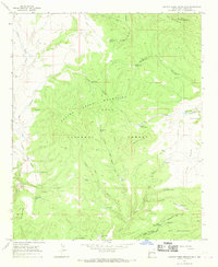
1965 · Canyon Creek Mountains
USGS Topo · 1:24,000
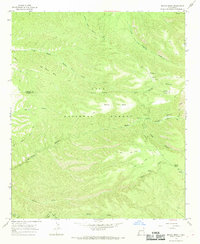
1965 · Middle Mesa
USGS Topo · 1:24,000
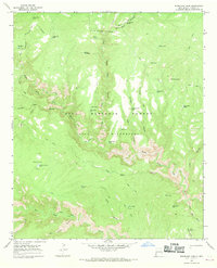
1965 · Woodland Park
USGS Topo · 1:24,000
1965 · Gila Hot Springs
USGS Topo · 1:24,000